Understanding SHP Files and Their Importance
Shapefiles, commonly known as SHP files, are a popular geospatial vector data format used by geographic information system software. Developed by Esri, this format stores the location, shape, and attributes of geographic features such as points, lines, and polygons. If you have encountered a file with the .shp extension, you likely need specialized software to view or edit it. This article explains how to open SHP files easily using various tools, from free open-source options to professional commercial software. Understanding the structure of a shapefile is essential because a single SHP file is actually part of a set of mandatory files that work together. Without the companion files, the shapefile may not open correctly.
What You Need to Open an SHP File
To open an SHP file, you must use a Geographic Information System application. These programs are designed to handle spatial data and render maps. The most common options include QGIS, ArcGIS, and Google Earth Pro. Each tool has its own strengths, but for most users, QGIS is the best starting point because it is free, open-source, and runs on Windows, macOS, and Linux. Before you begin, ensure you have all the necessary files. A valid shapefile consists of at least three files with the same name but different extensions: .shp (the main file containing geometry), .dbf (a database file storing attribute data), and .shx (an index file that improves performance). These files must be stored in the same folder. If any of these are missing, the shapefile may not load properly.

Method 1: Using QGIS to Open SHP Files
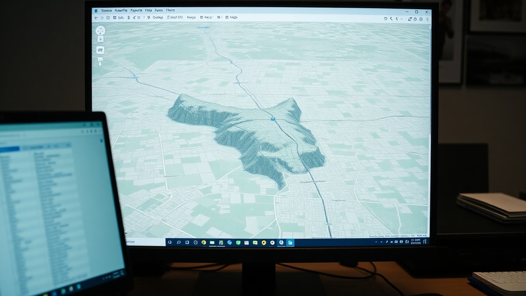
QGIS is the recommended tool for opening SHP files because it is free, powerful, and widely supported. To begin, download and install QGIS from the official website. Once installed, launch the application. The interface may look complex at first, but opening a shapefile is straightforward. Click on the Layer menu at the top, then select Add Layer, and choose Add Vector Layer. Alternatively, you can use the keyboard shortcut Ctrl+Shift+V. A dialog box will appear. Click the three dots next to the Source field to browse your computer. Navigate to the folder containing your SHP file, select it, and click Open. QGIS will automatically detect the companion .dbf and .shx files if they are in the same folder. After clicking Add, the shapefile will appear as a new layer in the map canvas. You can now view the geographic features, zoom in and out, and explore the attribute table by right-clicking the layer and selecting Open Attribute Table. QGIS also allows you to style the layer, change colors, and export the data to other formats.
Method 2: Opening SHP Files in Google Earth Pro
Google Earth Pro is another accessible option for viewing shapefiles, especially if you are already familiar with Google Earth. Note that the free desktop version of Google Earth Pro is required, as the web version does not support shapefiles. Download and install Google Earth Pro from the official Google website. After installation, open the program. To import a shapefile, go to the File menu, select Import, and then choose the SHP file from your computer. Alternatively, you can use the Add menu and select Shapefile. Google Earth Pro will convert the shapefile into a KML or KMZ format for display. The conversion process may take a few seconds depending on the file size. Once imported, the geographic features will appear as placemarks, lines, or polygons on the 3D globe. You can adjust the view, add labels, and even measure distances. However, Google Earth Pro has limitations. It does not support complex attribute editing, and the styling options are basic. For advanced analysis, you should use QGIS or ArcGIS instead.
Method 3: Using ArcGIS to Open SHP Files
ArcGIS is a professional GIS software suite developed by Esri. It is widely used in government, academia, and industry. To open a shapefile in ArcGIS, you need either ArcMap or ArcGIS Pro. Both applications handle SHP files natively. In ArcMap, click the Add Data button (a yellow plus sign) or go to File, then Add Data. Browse to the folder containing your shapefile and select it. The shapefile will be added to the table of contents and displayed on the map. In ArcGIS Pro, the process is similar. Open a project, click on the Map tab, and select Add Data. Navigate to your SHP file and click OK. ArcGIS provides extensive tools for analyzing, editing, and symbolizing shapefile data. However, ArcGIS is not free. Licenses can be expensive, making it less suitable for casual users. If you have access through a university or employer, it is a powerful option.
Method 4: Opening SHP Files in AutoCAD
AutoCAD users may need to open shapefiles for engineering or planning projects. Standard AutoCAD does not support SHP files directly. You need AutoCAD Map 3D or Civil 3D, which include GIS functionality. To import a shapefile, open AutoCAD Map 3D or Civil 3D. Type MAPIMPORT in the command line and press Enter. A dialog box will appear. Set the Files of Type dropdown to ESRI Shapefile. Browse to your SHP file and select it. The import wizard will guide you through options such as coordinate system, layer mapping, and attribute handling. After completing the wizard, the shapefile geometry will be converted into AutoCAD drawing objects like polylines, points, or polygons. This method is useful for integrating GIS data into CAD workflows. However, the conversion may not preserve all attribute data perfectly, and you may need to adjust the coordinate system manually.

Common Issues When Opening SHP Files
Several problems can prevent a shapefile from opening correctly. The most common issue is missing companion files. As mentioned earlier, a shapefile requires the .shp, .dbf, and .shx files. If you only have the .shp file, the software will likely show an error. Check the folder to ensure all three files are present. Another issue is incorrect file paths. If you move the shapefile to a different folder, the software may lose track of the companion files. Always keep all shapefile components together in the same directory. Coordinate system problems can also occur. If the shapefile does not have a .prj file (which stores projection information), the software may display the data in the wrong location. You can manually assign a coordinate system in QGIS or ArcGIS if you know the original projection. Finally, corrupted files can cause errors. Try downloading the shapefile again from the original source or use a file repair tool.
List of Essential Companion Files for a Shapefile
To ensure your shapefile opens without errors, verify that you have the following files in the same folder. The list below shows the most common extensions and their purposes.
- .shp: The main file that stores the geometric features (points, lines, polygons).
- .dbf: The attribute file that contains tabular data for each feature.
- .shx: The index file that links geometry to attributes for faster access.
- .prj: The projection file that defines the coordinate system (optional but recommended).
- .sbn and .sbx: Spatial index files that improve performance (optional).
- .cpg: The code page file for character encoding (optional).
Comparison of Software for Opening SHP Files
The table below compares the most common software options for opening SHP files. This will help you choose the best tool based on your needs, budget, and technical skill level.
| Software | Cost | Ease of Use | Advanced Features | Platform |
|---|---|---|---|---|
| QGIS | Free | Moderate | Yes | Windows, macOS, Linux |
| Google Earth Pro | Free | Easy | Limited | Windows, macOS |
| ArcGIS Pro | Paid (subscription) | Moderate | Yes | Windows |
| AutoCAD Civil 3D | Paid (license) | Difficult | Yes (CAD focused) | Windows |
Tips for Working with SHP Files
When handling shapefiles, always keep the original files in a backup location. If you need to share a shapefile, compress the entire folder into a ZIP archive to ensure all companion files are included. For large shapefiles, consider using a spatial database like PostGIS or GeoPackage for better performance. If you only need to view the data without editing, Google Earth Pro is the simplest option. For analysis and styling, QGIS is the best free choice. If you work in a professional environment with ArcGIS licenses, use that for full compatibility. Remember that shapefiles have limitations, such as a maximum file size of 2 GB and a limit of 255 attribute fields. For modern projects, consider using GeoJSON or GeoPackage formats instead.

References
QGIS Project. QGIS - A Free and Open Source Geographic Information System. Available at: https://www.qgis.org. Accessed 2025.
QGIS Documentation. Opening Shapefiles in QGIS. Available at: https://docs.qgis.org. Accessed 2025.
Google Earth Pro. Google Earth Versions. Available at: https://www.google.com/earth/versions/#earth-pro. Accessed 2025.
GIS Wiki. Shapefile Format Specifications. Available at: https://www.giswiki.org. Accessed 2025.
Autodesk Support. MAPIMPORT Command for Shapefiles. Available at: https://help.autodesk.com/view/ACDC/2024/ENU/. Accessed 2025.